HERO-ERA congratulates Ordnance Survey on its 225th anniversary!
*Where would we be without them? Lost!
*The rallyist’s most useful companion
*225 years since the first OS map of Kent, and still leading the way

This November, one of Britain’s most trusted institutions reaches a remarkable milestone. It is 225 years since the first Ordnance Survey map was published, a map of Kent that began a story still being written today. For everyone at HERO-ERA, it is an anniversary we could not let pass without raising a glass, or at least a well-thumbed folded map.
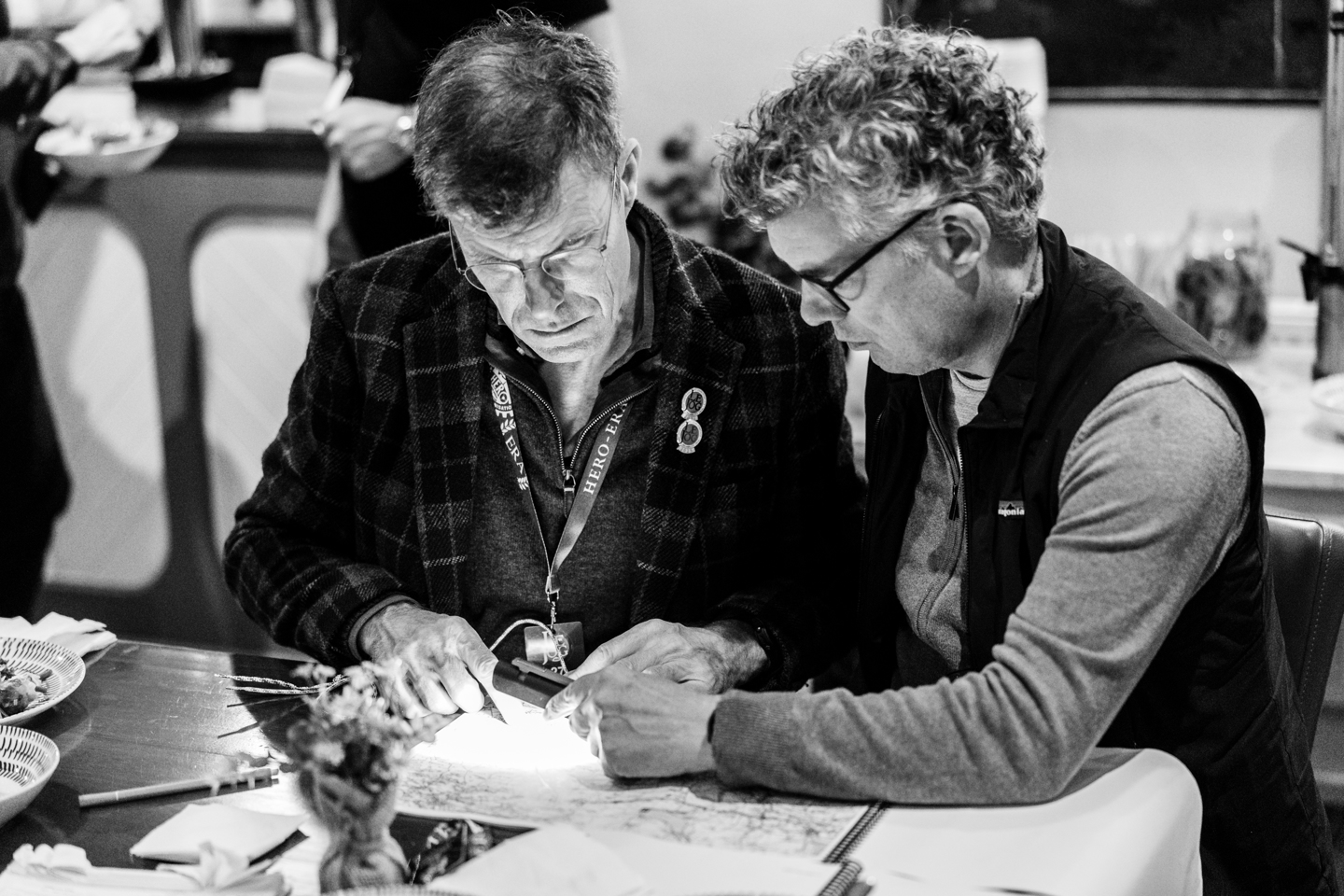
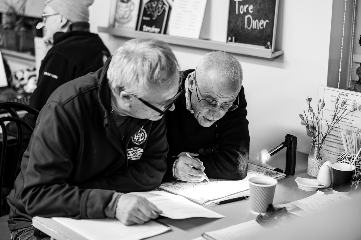
OS maps are a big part of what we do. Every route we plan, every regularity we devise and every road book we proof begins with the same quiet certainty: somewhere, a cartographer has already walked, measured and recorded the lie of the land. Before a single rally car turns a wheel, an OS map has usually been spread across a table, weighed down at the corners by coffee mugs and pencil cases, while a route is argued over, amended, and argued over again.
For the rallyist, it is simply the most useful companion there is. Anyone who has sat in the navigator’s seat, pencil behind the ear and stopwatch in hand, knows the particular joy of a junction that appears on the map exactly where it ought to be. They also know the particular dread of a junction that does not. A good map is the difference between a perfectly judged regularity and a lengthy detour through somebody’s farmyard, and over the years the little orange and purple symbols have saved more rallies from disaster than any of us would care to admit.
Those who have ever tried to follow a tulip diagram while the car is bouncing along a rutted lane will understand the reassurance of a contour line. It tells you whether the hill ahead is a gentle rise or a lung-busting climb. It tells you whether that bridge is really there, whether the ford is a ford, and whether the lane that looks so inviting is in fact a footpath. It is hard to imagine planning a rally without that information.
What is striking about Ordnance Survey is that, at 225, it shows no sign of slowing down. The first map of Kent was drawn with the instruments of the age, but the organisation has never been content to rest on its laurels.
The OS Maps app now puts that heritage into the pocket, and its Community Alerts tool, introduced in 2025, has quickly proved its worth. This real-time, crowdsourced hazard reporting service has gathered more than 20,000 reports from across Britain. Blocked paths, overgrown vegetation, fallen trees and flooded routes are all flagged by the people who find them, so that those following behind are forewarned. Anyone who has ever had a perfectly planned route held up by a herd of cows will appreciate the idea. For those of us who spend our days scouting roads and checking the practicalities of a route, it is a rather welcome addition to the toolkit.
Looking further ahead, OS is developing OS BaseMap Pro, a next-generation basemap that will succeed the OS MasterMap Topography Layer. The National Underground Asset Register has also grown, now with more than 400 asset owners on board, helping to map what lies beneath our feet as well as what lies above it. It is a long way from a survey of Kent, but the principle remains exactly the same: know the ground, and get it right.
There is something rather fitting about an organisation founded on accuracy and attention to detail being so beloved by the rallying community. Our sport rewards precision, preparation and a healthy respect for the road ahead, and these are qualities that Ordnance Survey has embodied for well over two centuries.
So, from all of us at HERO-ERA, happy 225th birthday, Ordnance Survey. Thank you for keeping us on the right road, or at the very least, for letting us know when we are not on it.
Here’s to the next 225 years.